 |
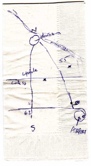
John Gwinn drew this to help us orient ourselves in Minneapolis. We were sitting in a Vietnamese restaurant on Lyndale Ave. (the X in the middle of the map) at the time. The asterisk at the bottom left, near the 62 intersection indicates the motel where we were put up. The X near the 55 shows where people were protesting the expansion of a highway through sacred American Indian land. The X in the circle near the airport was supposed to be the 24 hour post office, but we got lost going there. (click on area for detail)
|
